
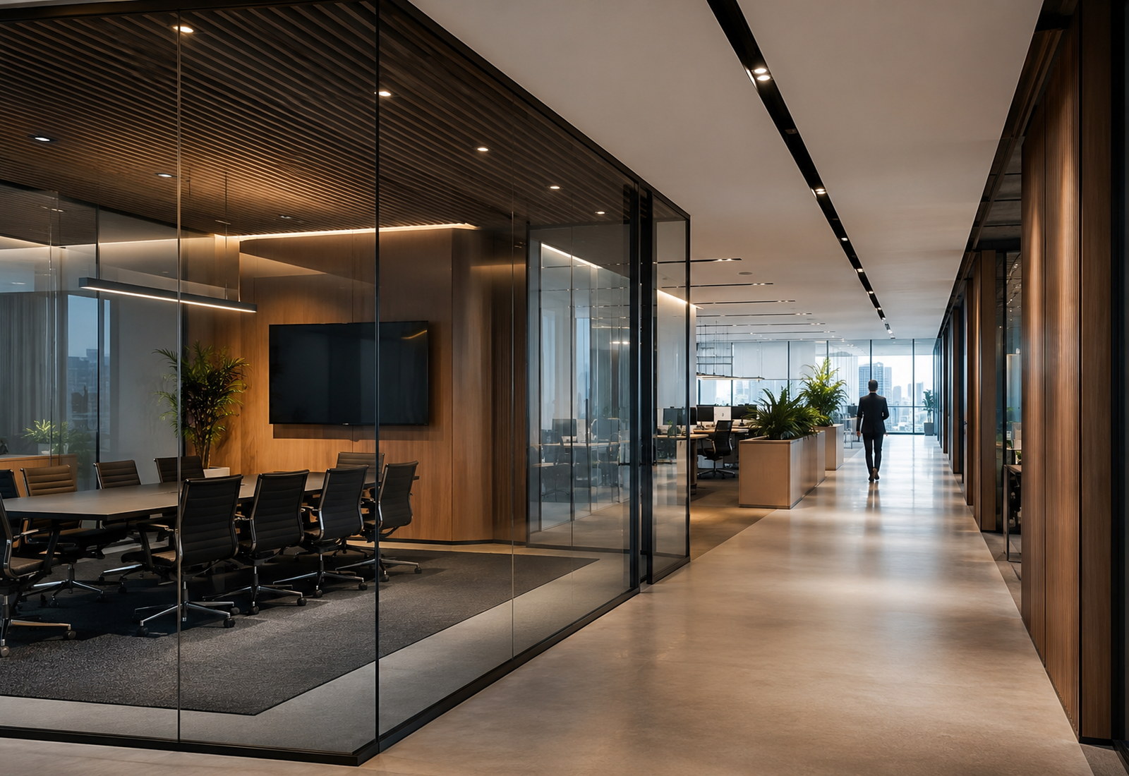
Deep context, delivered for the sector you actually work in.
The right spatial answer depends on the sector asking the question. We bring sector-specific context to every engagement, not a generic template applied six different ways.
Deep context, fresh perspective.
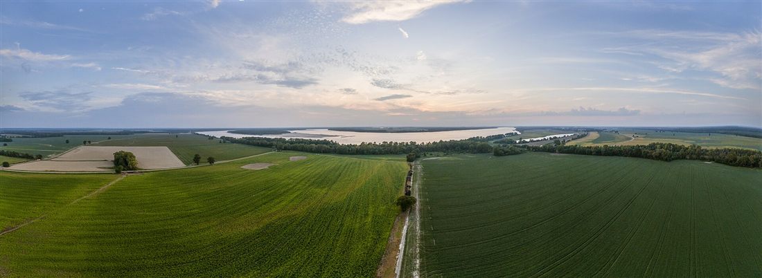
Agriculture
Soil, water and yield data don't mean much sitting in separate systems. We bring them together into a single spatial picture, so agronomists and landholders can see exactly where a decision on irrigation, cropping or land use will pay off - and where it won't.
The result is fewer assumptions and more confidence in every planting and land-investment decision, backed by evidence rather than a best guess.

Councils
Local government sits at the intersection of land-use policy, community services and physical infrastructure - and every one of those decisions has a spatial dimension. We help councils bring zoning, asset and community data into one coherent model.
Planning decisions hold up under scrutiny, and asset management stops being a spreadsheet exercise spread across half a dozen disconnected systems.
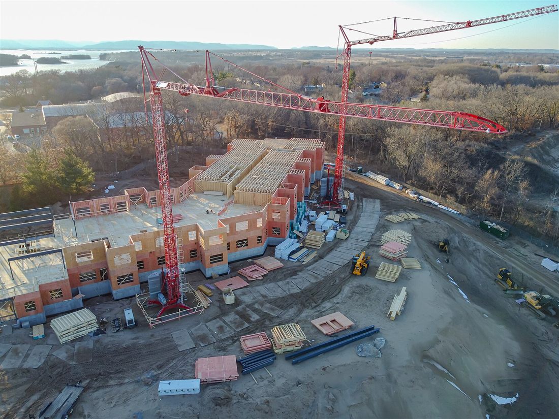
Construction
A construction project's spatial picture changes constantly - from feasibility and site selection through to the as-built record handed over at completion. We keep that picture current at every stage of the project.
Site teams, project managers and asset owners end up working from the same ground truth, instead of last month's survey and this morning's site photos.

Telecommunication
Coverage and capacity planning only works if the underlying spatial model is accurate and current. We model terrain, demand and existing infrastructure together, not as separate spreadsheets bolted onto a map.
Rollout priorities end up reflecting where the network is actually needed most - not just where it happens to be easiest to build.

Defence
Defence programs demand spatial capability built to a different standard - operationally rigorous and secured by design, not adapted from a commercial off-the-shelf tool built for someone else's use case.
We build and support spatial systems that meet the security and reliability requirements those programs require, without compromising on capability.

Emergency Services
When a decision has to be made in minutes, not weeks, spatial context is what separates a good outcome from a bad one. We build the real-time situational awareness tools that put that context in front of the people who need it.
Teams see what's actually happening on the ground as it happens - not a reconstruction of it after the fact.
We've likely worked somewhere close to it.
Book a consultation and tell us about the problem you're solving.